
Look Up La Quinta Neighbors by Block
A La Quinta block lookup has several evidence layers. The map establishes which parcels touch. The assessor counter can identify assessed owners. A qualified La Quinta voter file may show registered residences for an approved purpose. A historic survey can show development era. An HOA or community council can provide public La Quinta business contacts without opening a private member roster.
| Source | What It Shows About a Block | Access |
|---|---|---|
| La Quinta Planning GIS | Parcel, city, community, zoning, specific plan, and SOI layers | Free address or APN map |
| La Quinta RivCoView | Adjacent parcels, sales, permits, assessment and community context | Free La Quinta map browse |
| La Quinta ACR owner roll | Assessed owner and tax-mailing address | Public office computer or microfiche |
| La Quinta historic survey maps | Development eras and significant properties | City PDFs and survey resources |
| La Quinta qualified voter file | Registered residence and precinct fields | Statutory purpose and application |
| HOA or community contact | Public organization officers or business contact | Voluntary publication or city record |
| Permit record | Work, applicant, contractor, and project dates | City file or focused request |
That is a La Quinta block map, not a neighbor directory in the sense of a complete household list. Each La Quinta row answers a smaller question.
Map La Quinta Neighbor Parcels
Use La Quinta City GIS or RivCoView to locate the target address and APN. Zoom until La Quinta parcel boundaries are clear, click the polygons around the target, and write down adjacent APNs in sequence. Use the layer controls to compare city limits, residential community boundaries, zoning, General Plan land use, specific plans, and the sphere of influence. There is no verified radius or buffer export in the research, so ordinary pan, zoom, and click is the defensible method.
Target address → APN → parcel boundary → adjacent APNs → ACR owner channel → lawful record check.
Open the La Quinta Planning GIS instructions and the RivCoView property map. Physical La Quinta adjacency does not prove a social tie, shared household, or current occupancy.
Note: Physical adjacency identifies neighboring La Quinta parcels, not a social relationship, shared household, or current occupancy on its own.
Privacy Limits on La Quinta Neighbor Searches
A La Quinta neighbors search cannot lawfully promise every name at every door. The online assessor view supplies an APN but withholds owner names. Utility accounts, DMV addresses, delivery data, device location, and private association membership are not public La Quinta block layers. Voter data is purpose restricted. Safe at Home can place a substitute address in public-facing contexts for qualifying La Quinta participants.
California’s privacy law gives covered consumers rights to know, delete with exceptions, correct, opt out of sale or sharing, use Global Privacy Control, and limit some sensitive-information uses. A request to a data business does not erase a La Quinta deed, court record, or assessment record held by the lawful custodian.
The California Consumer Privacy Act guidance explains the private-copy rights that apply to covered businesses.
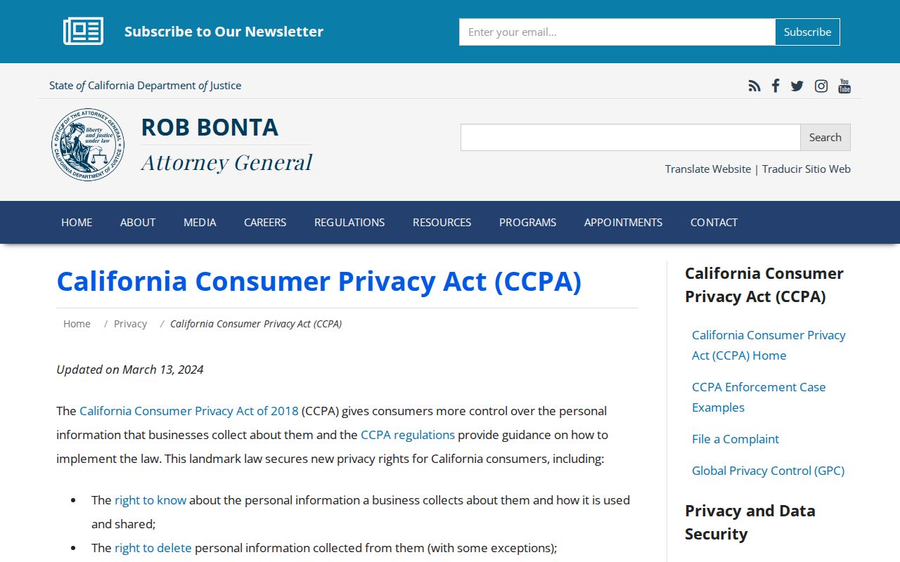
The California privacy source helps distinguish a private copy from the official La Quinta record that remains with Riverside County or the city.
The California Safe at Home program explains the substitute-address protection for qualifying participants.
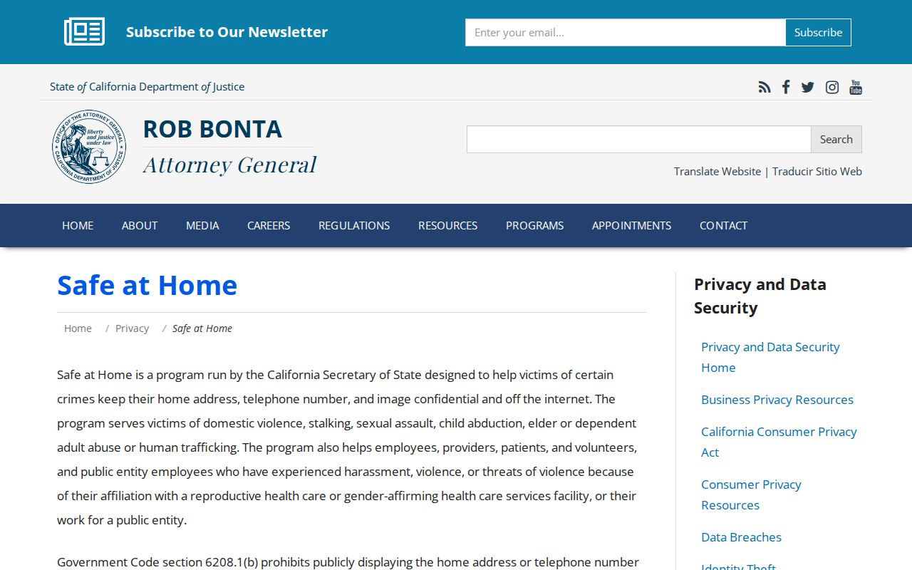
Safe at Home adds a confidentiality layer that a La Quinta map cannot reveal. Protected La Quinta addresses should not be reverse-engineered from nearby parcels.
Lawful block research. Use La Quinta parcel and public-record clues for family history, civic understanding, property curiosity, and personal safety. Do not use a La Quinta neighbors search to stalk, harass, intimidate, or harm anyone.
La Quinta Neighbor GIS Layers
La Quinta’s planning map is more than a La Quinta parcel outline. Its layers include city boundaries, residential community boundaries, specific plans, zoning, General Plan land use, and sphere of influence. These La Quinta layers explain why nearby addresses can belong to different planning histories, even when a postal line looks the same.
RivCoView adds sales, permit, assessment, tax, census, school, and community panels. Use the county map for La Quinta regional context and the city map for local planning layers. Neither source should be represented as a live list of La Quinta neighbors. The full named-street chain belongs on the La Quinta by-street page.
La Quinta Neighbor History: The Cove
The city identifies the La Quinta Cove or Village as its first residential area. La Quinta Resort and historic landscape resources anchor early twentieth-century history, while later growth brought planned subdivisions, private roads, gated golf communities, and resort-related property structures. A block around a modern La Quinta address may therefore include a historic landscape, a planned community, a condominium unit, or a parcel with an owner whose mailing address is elsewhere.
La Quinta historic-survey maps can show the development era and significant properties. They can help explain why one La Quinta block’s built form differs from another, but they do not create a present resident list. Use the history as context, then return to the APN and custodian for a current La Quinta record.
La Quinta Neighbor Geography: Vista Santa Rosa
Vista Santa Rosa has a community council, agricultural identity, and close ties to La Quinta planning. It sits in La Quinta’s sphere of influence rather than automatically inside the incorporated city. La Quinta city outreach, owner and resident surveys, and public study sessions in 2024-25 concerned possible annexation. Sphere-of-influence status is not annexation.
Read the city’s Vista Santa Rosa information before assigning a La Quinta permit, code, or planning request. Compare the parcel boundary, postal address, and current jurisdiction. LAFCO action is required to add territory to the city.
La Quinta HOA Contacts Are Not Lists
La Quinta GIS identifies residential community boundaries, and public city materials may name a La Quinta community council, neighborhood association, or organization contact. The city’s Vista Santa Rosa page documents a community council. Historic city material mentions a Cove Neighborhood Association. PGA West and other named residential communities appear in planning context. None of that presumes that a La Quinta HOA or club publishes its member roster.
Ask only for a public La Quinta business contact, meeting notice, officer name, or record that the organization has voluntarily released. A private roster, phone list, or household relationship is not a normal public-record substitute. Archives may hold historic membership material with donor or access restrictions. The public contact layer can help La Quinta neighbors identify a meeting or office without exposing a member list.
| Vista Santa Rosa Community Council | Public meeting and community contact context; member roster not presumed public |
|---|---|
| Cove Neighborhood Association | Named in historic city material; request only voluntarily published contact information |
| HOA or golf community | Organization business contact may be public; member list remains private unless released |
| Museum or Historical Society | Historic rosters or donated collections may have finding aids and access limits |
Note: A public organization contact does not open a private membership list or establish who lives in a La Quinta community.
La Quinta Voter Data at Block Scale
California voter files can contain La Quinta residence, mailing address, precinct, party preference, registration date, status, and participation history when an authorized applicant receives those fields. Access is limited to election, scholarly, journalistic, political, or governmental purposes under Elections Code sections 2188, 2194, and 18109, Government Code section 7924.000, and 2 CCR sections 19001-19013.
A statewide file costs $100. A specific-voter application can cover up to 10 people, costs $30 each with a $100 cap, and requires full name, date of birth, county, residence, purpose, identification, and fee. SSN, driver-license number, signature, ballot choice, and confidential-voter records are not released. The La Quinta My Voter Status tool remains a self-check.
One cannot enter a La Quinta street and freely list registered voters. The approved application path is the La Quinta access channel, not a map shortcut.
La Quinta Records Versus Neighbor Tools
Commercial La Quinta neighbor tools may combine deeds, marketing data, and other sources, but their compiled results can misidentify occupants, relationships, and boundaries. Official La Quinta records are narrower but have a named custodian and an access rule. Use the comparison to decide what a result can support.
| GIS or RivCoView | Shows parcels, layers, sales, permits, and map context; it does not prove occupancy. |
|---|---|
| ACR office roll | Shows assessed owner and mailing clue; it does not prove who lives at the parcel. |
| Voter file | May show a qualified residence field; access needs a statutory purpose. |
| Private association | May publish officers or contacts; member roster is not presumed public. |
| Compiled neighbor tool | May offer a lead; verify every important fact with the custodian. |
The comparison keeps La Quinta neighbors research grounded in records rather than an implied social graph.
Note: A protected La Quinta address should not be reconstructed from nearby parcels, maps, voter clues, or community contacts.
La Quinta Block Scam Checks
La Quinta names and addresses can make a scam sound local. A deed-copy letter may cite a real document number while charging more than the recorder’s official price. An unclaimed-money caller may know a true name and city without representing the Controller. A jury or court demand for gift cards or crypto is not a court process. Verify the sender through a published La Quinta office number or domain.
For a consumer or data-broker complaint, use the California Attorney General complaint channel. For interstate fraud or identity misuse, use the FTC ReportFraud portal. An immediate threat belongs with 911 or local law enforcement.
The La Quinta complaint page provides a direct route for a suspected business or data misuse report.
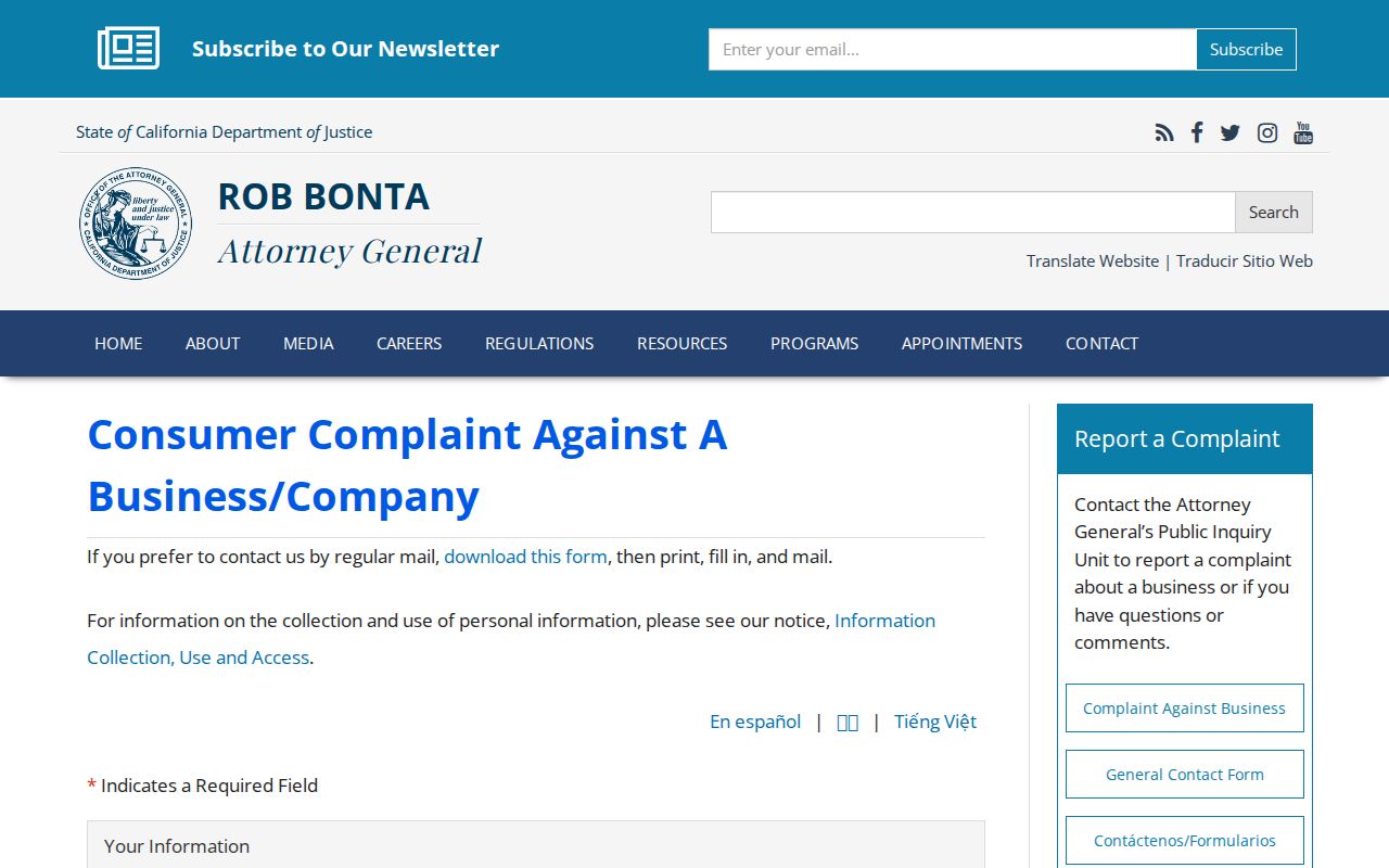
The La Quinta complaint form is a safer route than answering a message that asks for payment or private identifiers.
The FTC ReportFraud source handles interstate fraud and identity misuse reports.
FTC reporting covers interstate fraud and identity misuse. It does not certify a La Quinta neighbor record.
La Quinta CPRA Block Requests
The California Public Records Act, Government Code sections 7920.000 and following, can help when a La Quinta city or county administrative record is not already published. A request should identify the record, address or APN, department, date span, and format. Agencies generally determine disclosure within 10 days, with a limited 14-day extension. Production, exemptions, and direct duplication costs are separate questions.
Use the California Public Records Act guidance to understand timing and exemptions. The DOJ request form shows fields for contact information, record description, and comments, but DOJ cannot process another agency’s local records. Send a La Quinta request to the city custodian and a Riverside request to the county office that holds the La Quinta file.
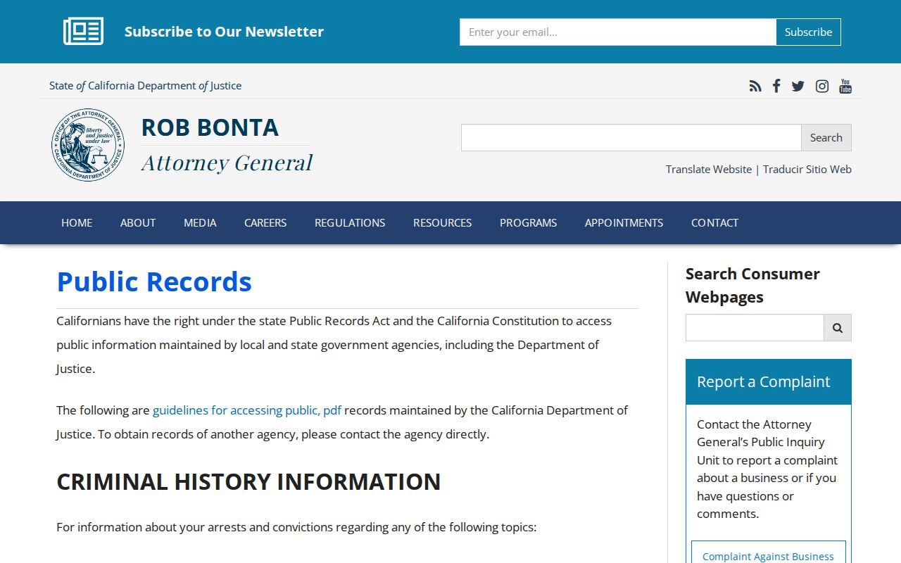
CPRA guidance frames a La Quinta block request around a record, not around a demand for a list of people.
The California DOJ public-records request form shows the contact and record-description fields that a focused request needs.
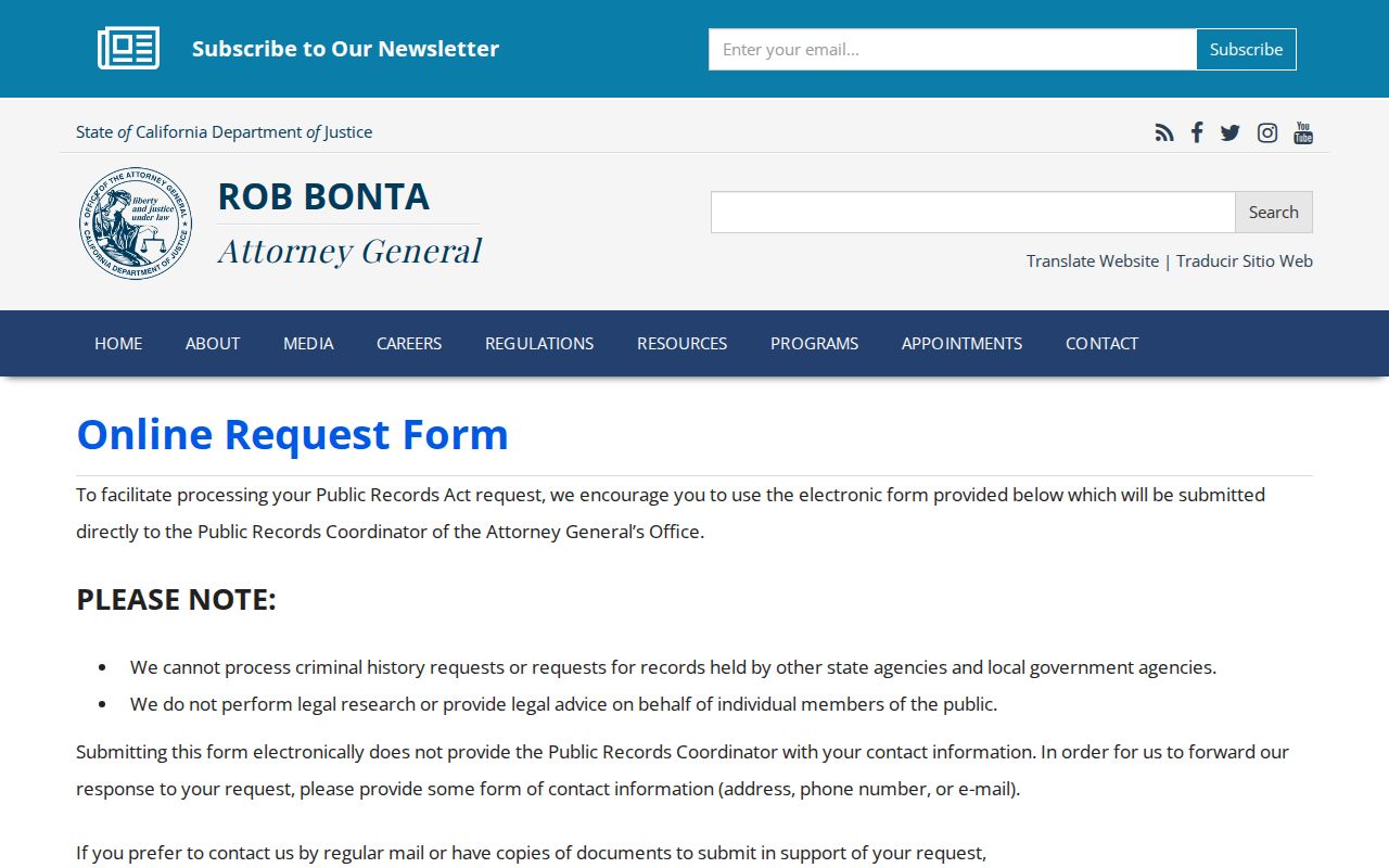
The DOJ form illustrates the detail a focused La Quinta request needs, even when the local custodian is La Quinta or Riverside County.
Note: La Quinta CPRA requests should name a record, date span, department, address or APN, and format instead of asking for a people list.