
Walk La Quinta Streets by Address
A useful La Quinta by-street search moves from a known address to a defensible record trail. Begin with the number and street name as the assessor FAQ recommends. Do not add extra city or unit text until the La Quinta portal asks for it. The result should give an APN, which is the county parcel key. That La Quinta APN can be carried into a map, an office visit, a deed search, and a city file request.
The sequence below keeps current La Quinta property evidence separate from historical occupant clues. It also avoids assuming that a La Quinta mailing city, owner name, or permit applicant is the person who lives at the property.
- Normalize the street number and name, then search the Riverside ACR Property Search.
- Save the APN and open RivCoView or La Quinta Planning GIS to inspect the parcel and nearby La Quinta boundaries.
- Visit a Riverside ACR public-service office or public terminal for the assessed owner when the La Quinta web property search withholds owner names.
- Search the recorder by party name, document type, date, or document number, carrying the APN and legal description as checks.
- Add permits, historic-survey forms, a library-verified reverse directory, and a focused request only when they answer the next question.
That is the core La Quinta address workflow: address, APN, owner channel, deed chain, and supporting history.
La Quinta Street Directory Record Layers
A La Quinta address record stack is strongest when its layers are read side by side. GIS shows La Quinta shape and place. The assessment roll supplies an office-view owner and tax-mailing distinction. Recorded instruments show named parties to a La Quinta transfer or lien. Permits show work and applicants. A voter file is restricted, and a historical reverse directory depends on the title and year held by a La Quinta library.
| Record layer | Street or block clue | Keeper | Access |
|---|---|---|---|
| La Quinta City GIS | Parcel, community, zoning, city and SOI layers | La Quinta Planning | Address or nine-digit APN |
| La Quinta RivCoView | Parcel, sales, permits, assessment and nearby map context | Riverside ACR | Free map browse |
| La Quinta assessment roll | APN, assessed owner, mailing and situs fields | Riverside ACR | Owner at office computer or microfiche |
| Recorded deeds and liens | Grantor, grantee, document type, date and legal description | Riverside Recorder | Web index from 1974; copies or counter |
| Permits | Work, applicant, contractor, owner and dates when public | La Quinta Design and Development | Digital files or focused request |
| Historic survey | Era, style, tract, builder and associations | La Quinta Historic Preservation | Public PDFs and database |
| Reverse directory | Listed occupant or telephone subscriber by address | RCLS or Museum | Exact title and coverage must be confirmed |
The La Quinta street directory does not turn these layers into one owner list. It gives a researcher a way to decide which La Quinta custodian to ask next.
Note: The APN is the bridge between a La Quinta street clue and records that are indexed by owner name rather than address.
Resolve a La Quinta Address to APN
The ACR property portal is the first La Quinta address-keyed stop. It accepts a street address or assessment number. Riverside’s public web search returns parcel basics and an APN, while owner names are intentionally absent online. La Quinta’s planning map also accepts a specific address or an undashed nine-digit APN, such as the format 775350014. Save the La Quinta APN exactly as displayed before the next search.
| La Quinta search by | Address or assessment number/APN |
|---|---|
| Street number and name | Use address mode; omit excess city or unit text per the FAQ |
| APN | County parcel number; La Quinta GIS expects nine digits without dashes |
| Return | Parcel basics, APN, map and assessment context |
The ACR address search is linked here so the La Quinta field choice can be checked at the source. A unit, private street, trust, or rural tract may need a second pass using the legal description or map.
Riverside’s street-search view is the first bridge between a named road and a La Quinta street directory. It gives the key needed for the records that are not indexed by street.
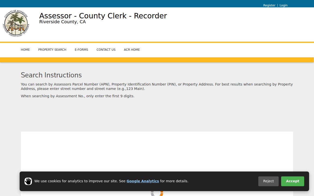
The La Quinta screenshot is a parcel search tool, not a resident roster. Its value is the APN that can be carried into the next La Quinta record.
La Quinta Street Parcels in RivCoView
RivCoView makes the La Quinta street directory spatial. Search the La Quinta address or APN, zoom to the parcel, and click adjacent polygons one at a time. County layers can show parcel geometry, recent sales, permit markers, assessment or tax panels, census and community context, and school information. The map is useful for orientation, but its neighboring La Quinta parcel view does not supply an online owner list.
La Quinta Planning GIS adds city boundaries, residential community boundaries, specific plans, zoning, General Plan land use, and the sphere-of-influence layer. Use the Home control to restore the La Quinta citywide extent. A map layer can explain why two addresses with the same postal city reach different offices.
Address → APN → parcel map → adjacent APNs → ACR counter ownership request.
Open the RivCoView property and sales map before assuming that the next La Quinta parcel is in the same community or city jurisdiction.
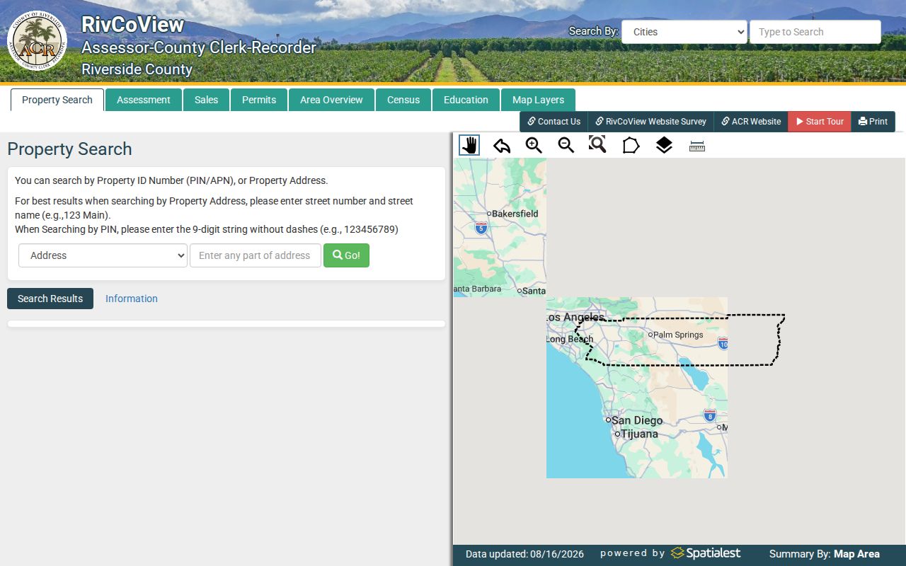
The La Quinta map view helps a by-address search move along a block without confusing physical adjacency with a social relationship.
La Quinta Mailing and Situs Addresses
ACR records use several La Quinta address roles. The situs address is the physical parcel location. The mailing address is where tax correspondence goes and may be elsewhere. The legal description is the title key, often a tract, lot, block, or metes-and-bounds description. ZIP code is a mail-routing key. A La Quinta street directory must keep all four in its notes.
- APN
- The county parcel number used to connect a La Quinta street search to a mapped assessment unit.
- Situs
- The physical location of the land. It is not proof of who occupies the structure.
- Mailing address
- The destination for tax correspondence. It can point to an owner elsewhere, a trust, or an outdated preference.
- Legal description
- The title description that can remain useful when a street name, number, or postal label changes.
If mailing and situs match, that supports a link between a La Quinta owner and parcel but still does not prove occupancy. If they differ, preserve both rather than choosing one as the “real” La Quinta address.
Note: Situs and mailing addresses can diverge, so a La Quinta postal label should never substitute for parcel verification.
La Quinta Street Owner Access
The most important insider detail in the Riverside street directory workflow is the La Quinta online-to-counter split. ACR Property Search gives an APN from an address. Riverside’s assessor FAQ says ownership is public at ACR offices, computers, and microfiche, but owner names are deliberately not displayed in the ordinary web property search. Call the assessor at (800) 746-1544 or (951) 955-6200 for La Quinta procedure questions. Verify current counter location and hours before travel.
At the La Quinta counter, ask for the owner using the address or APN. Then take the name to the recorder index. ACR staff can explain where the records are held, but a person seeking a La Quinta chain of title should save the document number, date, and party spelling instead of expecting a phone worker to research it.
In-person La Quinta access is not the only fallback. Official copies can be ordered online, by mail, or in person. Regular copies cost $8 for the first page and $1 for each additional page of the same document. Certification adds $2 per document. The portal says completed-copy charges are nonrefundable.
The Riverside assessor services page describes the public ownership channel and related office procedures.
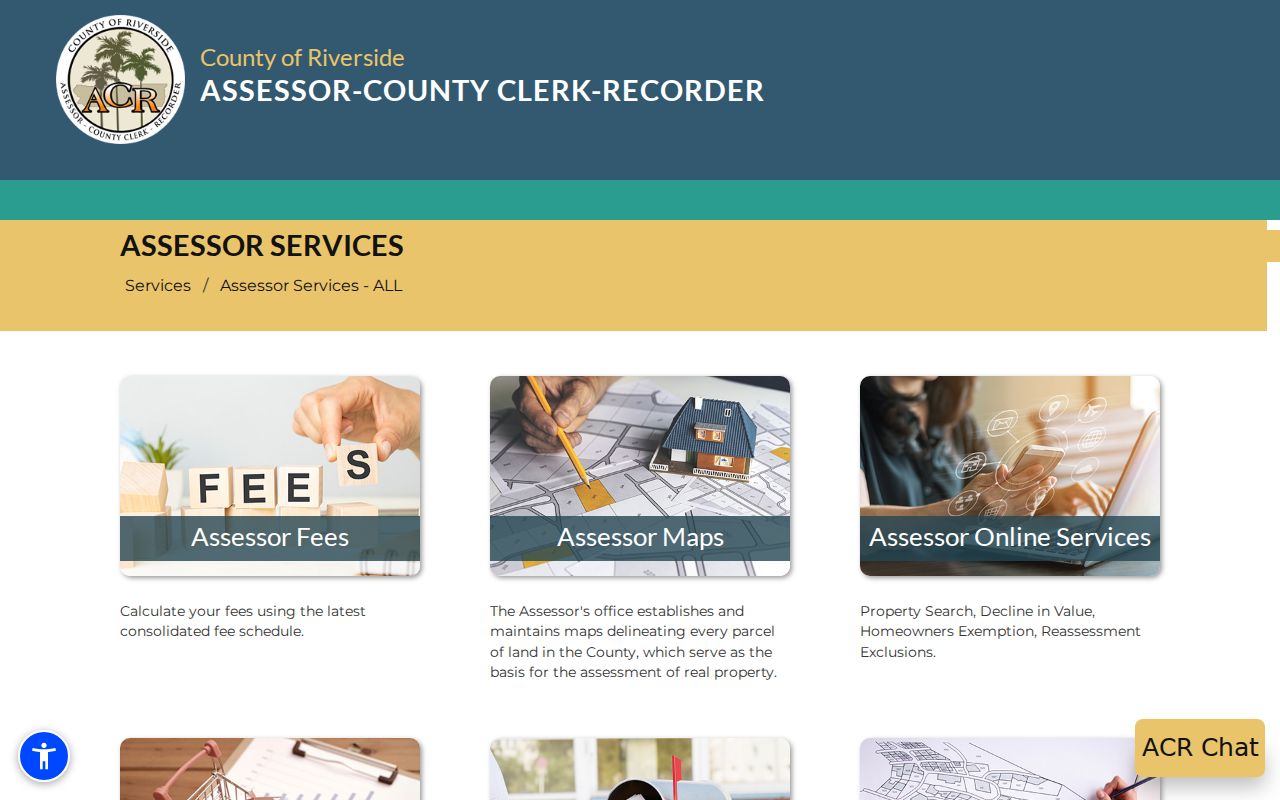
The assessor-services source shows why the La Quinta street directory has a real counter step instead of a promise that every owner name is online.
La Quinta Street Deed Chain
Recorded La Quinta deeds, deeds of trust, liens, releases, reconveyances, easements, notices, and maps are indexed by parties and record fields. The Riverside recorder offers Name Search, Document Number Search, Document Type Search, Map Type and Book/Page Search, and Advanced Search. Name instructions use LAST NAME FIRST, with exact or wildcard options. Recording dates begin at January 1, 1974 in the public web index.
| Party or name | Exact or wildcard name; role may identify transferor or recipient |
|---|---|
| Document type | Deed, deed of trust, lien, release, map, easement, notice, or other indexed type |
| Date range | Recording date start and end; web coverage begins in 1974 |
| Book and page | Legacy placement used with a map type when known |
| Result fields | Party role, document type, recording date, document number, and book/page or map reference |
La Quinta street address is not the core index key. Bridge it with the APN, tract, lot, or legal description. The Riverside official-records portal sends a copy to a cart after the search. For pre-1974 La Quinta deeds, ask ACR or the Robert J. Fitch County Archives about grantor-grantee books, deed books, microfilm, and map books.
Permits Date La Quinta Buildings
La Quinta building permits are address-keyed evidence of construction or alteration. The city’s 2022-23 historic survey used digital permits through the City’s Laserfiche or “Laserwebsite” along with assessor-recorder data, newspapers, UC Riverside, LAPL, Calisphere, the local library, Museum, and Historical Society. A permit can name an applicant, owner, contractor, scope, issue or final date, and valuation when public. It dates a La Quinta building event. It does not certify who occupied the property.
Start at the La Quinta Building Division permit information. If the needed file is not posted, describe the address, APN, work type, and date range to Design and Development. City GIS or the historic-preservation page can help decide whether the request belongs to the city or county.
Note: A La Quinta building permit can date work at a parcel, but it does not identify every household that used the address.
Reverse Directories Need Regional Proof
A La Quinta reverse or criss-cross directory orders street name, house number, and a listed occupant or telephone subscriber. It can be the closest historical tool to a street directory, but the title must cover the right place and year. No authoritative La Quinta-specific Polk, Haines, telephone, or reverse-directory run was located. The La Quinta library workflow is therefore more important than a guessed date.
Ask La Quinta Library or another Riverside County Library System branch to check reference shelves, closed storage, microfilm, and licensed databases. Request the publisher, edition year, call number, branch, and geographic scope. A title for Riverside city, Indio, Palm Springs, or Coachella Valley may or may not include the La Quinta address.
The historical La Quinta volumes and how to read their abbreviations belong on the La Quinta city directory collections page. The modern La Quinta street directory uses GIS, ACR, deeds, permits, and jurisdiction checks instead.
Vista Santa Rosa Changes Jurisdiction
A postal La Quinta label does not settle which office owns a record. Vista Santa Rosa is in La Quinta’s sphere of influence, has an agricultural identity and community council, and was part of 2024-25 La Quinta outreach, surveys, and study sessions about possible annexation. Sphere-of-influence status is not current incorporation. Annexation requires LAFCO action.
Before requesting a La Quinta permit, code file, or planning record, compare the parcel boundary with city GIS, RivCoView, and the city’s Vista Santa Rosa boundary and annexation information. A postal city may persist while the parcel remains county territory. That check prevents a La Quinta street directory search from sending a county question to a city desk.
What La Quinta Street Records Leave Out
No official source creates a complete list of everyone at a La Quinta address. La Quinta household members, utility customers, delivery data, and DMV address information are not a public street roll. Voter data needs a permitted purpose. La Quinta owner mailing addresses can differ from situs. HOA membership is private unless voluntarily published. A permit names a project participant, not a household.
Lawful personal use. La Quinta street and parcel records can support house history, family research, civic review, and scam checks. Do not use a La Quinta street directory or location trail to stalk, harass, intimidate, or harm anyone.
When a La Quinta result matters, confirm it with the custodian. The California Public Records Act guidance explains request timing and exemptions. A focused request should name the La Quinta record, address or APN, date span, and responsible department.
Note: The recorder’s online cutoff does not mark the beginning of Riverside land history or guarantee a La Quinta address appears in the index.